


cabane col des Aiguilles La Jarjatte

Atchoum26
User
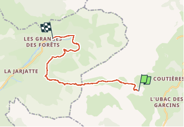

Length
12.8 km

Max alt
2039 m

Uphill gradient
531 m
Km-Effort
21 km

Min alt
1233 m

Downhill gradient
1003 m
Boucle
No
Creation date :
2023-05-01 06:01:34.315
Updated on :
2023-05-06 08:23:33.005
5h32
Difficulty : Difficult

FREE GPS app for hiking
 SityTrail
IGN / Geographical institutes
SityTrail Plus
The world is yours!
About
Trail Walking of 12.8 km to be discovered at Provence-Alpes-Côte d'Azur, Hautes-Alpes, Le Dévoluy. This trail is proposed by Atchoum26.
Description
parcours rendu difficile par la neige
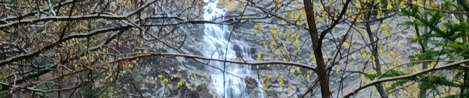
Photos


Positioning
Country:
France
Region :
Provence-Alpes-Côte d'Azur
Department/Province :
Hautes-Alpes
Municipality :
Le Dévoluy
Location:
La Cluse
Start:(Dec)
Start:(UTM)
724889 ; 4949781 (31T) N.
Comments